Image copyright Nasa Visible Earth
| ||
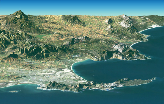
| A perspective satellite image taken by Landsat in February 2000, showing Cape Town and the Cape of Good Hope. The city centre lies in Table Bay, at lower left, next to Table Mountain. The perspective is computer generated, combining a photograph with elevation data collected by radar. Image copyright Nasa Visible Earth | ||
| back to gallery |