Gallery


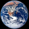
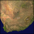
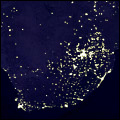
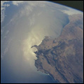
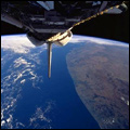
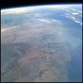
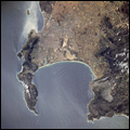
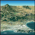
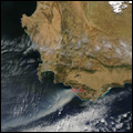
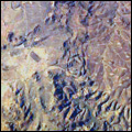
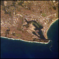
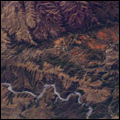
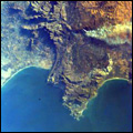
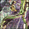
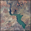
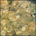
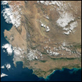
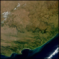
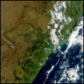
Here's the big picture, and it's looking good! Get a new perspective on South Africa with some of the best satellite images of the country, from the mouth of the magnificent Orange River in the west to the St Lucia wetlands in the east ...
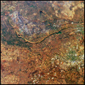
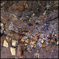
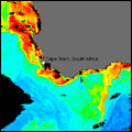
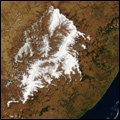
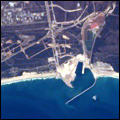
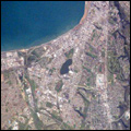
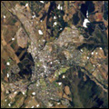
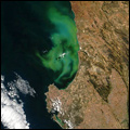
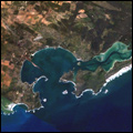
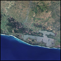
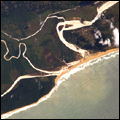
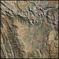
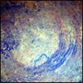
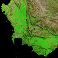
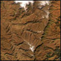
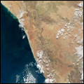
South Africa from outer space

Click on thumbnails to enlarge:


View of the Earth taken in 1972 by the Apollo 17 crew travelling to the moon South Africa Africa at night Sunglint on the ocean off the southern coast of the Western Cape
South African coast, looking west South African coast, looking east Cape Peninsula, Western Cape Perspective satellite image showing Cape Town and the Cape of Good Hope
Gauteng, with parts of North West and the Free State Johannesburg,Gauteng The Agulhas current Heavy snow over eastern South Africa and Lesotho in July 2004
Mbashe River, Transkei, Eastern Cape Mbashe River mouth, Transkei, Eastern Cape The Orange River Orange River mouth
Cape Hermes at Port St Johns on the Wild Coast of the Eastern Cape Fires in Cape Town Drakensberg Mountains Durban, KwaZulu-Natal
The Groot Swartberg mountains, Western Cape False Bay, Western Cape Diamond fields of the Northern Cape Water reservoir and agriculture near Kimberley
The town of Paarl in the Western Cape Coega industrial development zone and deepwater port, Eastern Cape Port Elizabeth, Eastern Cape Stellenbosch in the Western Cape
Bloom of phytoplankton off the Cape west coast Saldhana Bay of the Cape west coast Greater St Lucia Wetlands Park The St Lucia estuary in northern KwaZulu-Natal
Richtersveld mountains The Vredefort Dome, the largest meteor impact site in the world False-colour image of the Western Cape, with vegetation health indicated in green The Drakensberg mountains
The Northern Cape region The Western Cape region The Eastern Cape region The KwaZulu-Natal region
   
Photo copyright: We do not hold copyright on these photos. Permission for re-use should be sought from the copyright holder indicated below each photograph. Gallery compiled by Mary Alexander

Galleries home